
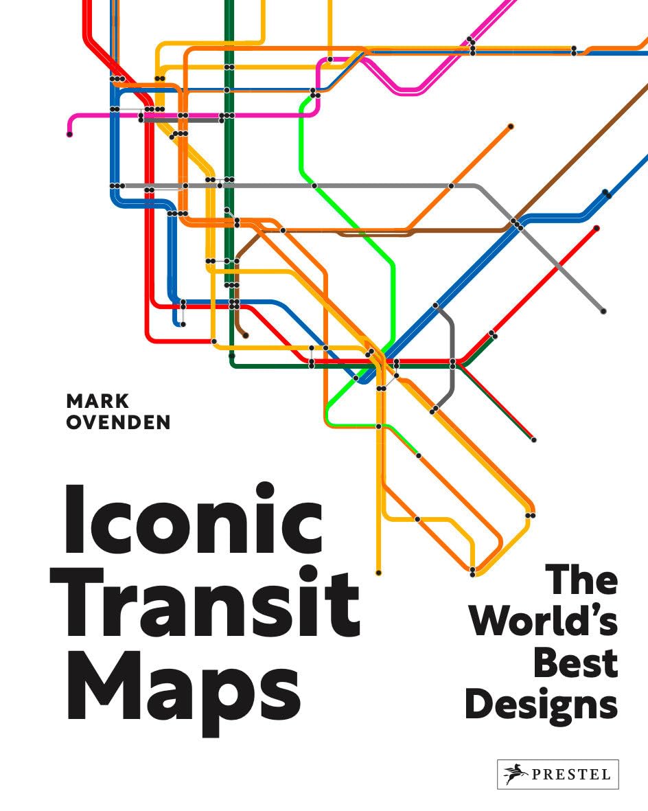
Iconic Transit Maps: The World's Best Designs
Produktdetails
| Artikelnummer | 233651853 | Erscheinungsdatum | 2026/06/27 | Listenpreis | €12.64 | Modellnummer | 233651853 | ||
|---|---|---|---|---|---|---|---|---|---|
| Kategorie | |||||||||
This visually stunning collection of iconic and historic subway, light rail, and streetcar maps from fifty of the world’s most exciting cities is a map- and transit-lover’s dream.Transport maps are some of the most frequently consulted and memorized navigation tools on earth. Millions use them daily to guide their journeys. Some have gained such familiarity they’re revered as design classics, hunted by collectors. Taken for granted, without these everyday objects passengers would quite literally be lost without them. Best-selling author, Mark Ovenden who curated this collection dating from their earliest appearance 160 years ago, dissects the design decisions which led to today’s intelligent wayfinding tools. Divided by continent, it features archival and modern maps from a dizzying array of locations—from Algiers and Cape Town; Boston and Chicago; Mexico City and Montreal; Bangkok and Beijing; Delhi and Doha; Amsterdam and Prague; to Auckland and Sydney.Perfect for the seasoned traveler, transit enthusiast, or anyone intrigued by the art and science of mapmaking this book provides a unique and informative exploration of urban mobility as it celebrates the functionality, universal appeal, and iconic status of transit maps. Read more
| ISBN10 | 3791380257 |
|---|---|
| ISBN13 | 978-3791380254 |
| Language | English |
| Publisher | Prestel |
| Dimensions | 9.75 x 0.84 x 12.13 inches |
| Item Weight | 3.1 pounds |
| Print length | 200 pages |
| Publication date | November 5, 2024 |
Korrektur der Produktinformationen
Wenn Sie Unvollständigkeiten oder Fehler in den Produktinformationen auf dieser Seite bemerken, nutzen Sie bitte das Korrekturformular unten.
Korrekturanfrage